Concerns about lake eutrophication and contaminants that affect drinking-water quality have remained priorities since the Project began. Additional concerns have been addressed as they arose. Pesticides and PCBs, pharmaceuticals and other emerging contaminants, disinfection by-products, microbial pathogens such as Cryptosporidium and Giardia, mercury, and cyanotoxins also have been investigated during previous phases, and a series of USGS reports have been published. The sustainability of water supplies depends on water availability as well as water quality; therefore, 10 streamflow-gaging stations are also supported by the Project.
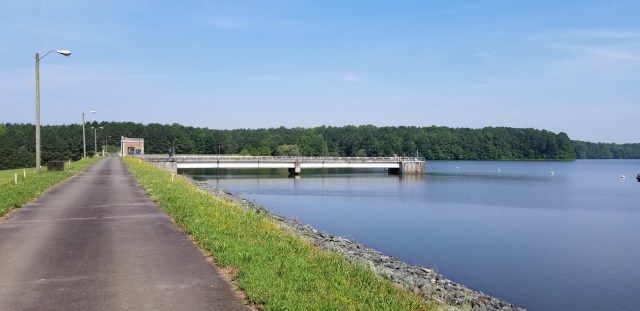
Cane Creek Reservoir, Orange County, NC, 2003.
New public health concerns have recently emerged in the Triangle area related to probable carcinogens in drinking water. From 2014-2016, high levels of bromide and 1,4-dioxane were reported in portions of the Cape Fear River basin; however, information is lacking for many of the water-supply sources in the Triangle area. Bromide supports the formation of brominated trihalomethanes. 1,4-dioxane is an organic solvent that is a probable human carcinogen. No Triangle area data are available for hexavalent chromium, another constituent of concern. Water suppliers need additional information for these constituents; therefore, the USGS is investigating their occurrence and distribution in Triangle area water supplies while continuing the long-term monitoring program for conventional water-quality constituents.
Objective:
The project currently is in Phase IX, which spans the period July 1, 2022 -June 30, 2027. Water-quality and hydrologic monitoring from Phase VII will continue, with the addition of constituents of current concern to municipal water suppliers.
Approach:
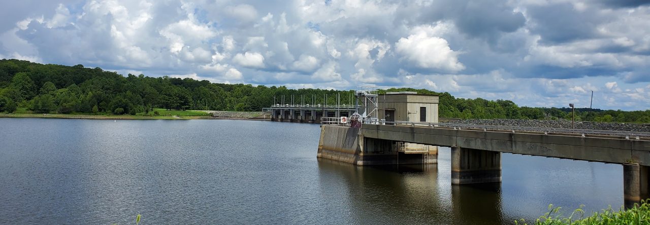
The USGS samples 9 lake sites and 4 stream sites six times per year. Dissolved oxygen, pH, water temperature, specific conductance, turbidity, nutrients, major ions (including bromide), chromium fractions, and 1,4-dioxane are sampled at all sites. In addition, suspended sediment is monitored at stream sites. Chlorophyll, water clarity, iron, and manganese are measured at lake sites. Eight additional streams in the study area are sampled by the North Carolina Department of Environmental Quality (DEQ) as part of their Ambient Monitoring System. The USGS samples these sites during selected storm events on a rotational basis. As part of this project, the USGS also operates continuous-record streamflow gaging stations at 10 stream sites.
Quality-assurance measures include the use of clean sampling techniques, collection of numerous quality-control samples, and extensive data review. Samples are analyzed by the USGS National Water Quality Laboratory in Denver, Colorado, the USGS Eastern Region Sediment Laboratory in Louisville, Kentucky, and the USGS Redox Chemistry Laboratory in Boulder, Colorado. All data are permanently stored and made available to the public online through the USGS National Water Information System.
Long-term water-quality trends in the study area are currently being evaluated and will be published in a USGS Scientific Investigations Report. Water-quality constituents that will be analyzed for trends include nitrogen and phosphorus species, suspended sediment, chlorophyll, and selected major ions.
For a printable overview of the Project, please check out our one-pager here.
